This blog examines modern applications of location intelligence and how organizations can use it to identify threats faster.

Location Intelligence: Harness the Power of Mapping & Geospatial Analysis

Whether it’s answering a confounding question, solving a problem, or even identifying threats to your locations and assets in real time, location intelligence provides organizations all over the world with the information they need to make crucial decisions and accelerate response times.
In this blog post, we’ll examine current-day applications of location intelligence, explore who uses it (and why), and discuss how your organization can use this contextual information to identify threats to your business faster and keep your people safe—in the office, at home, or on the go.
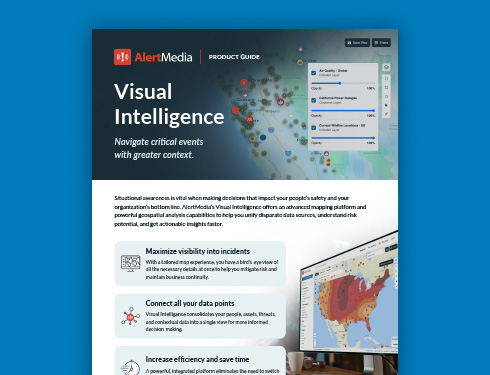
Visual Intelligence At-a-Glance
What Is Location Intelligence?
At its most basic, location intelligence involves using geospatial data to solve problems. As you can imagine, this methodology has virtually endless uses.
Cell towers, RFID, and GPS—combined with smartphones—provide the potential to determine and track the location of almost anything. Think of apps like Google Maps that show you where the nearest pizza parlor is and give you exact directions for getting there. Over the past 15 years, consumer transportation apps have virtually eliminated the need for paper maps and make it far easier for anyone to navigate an unfamiliar city or find any remote destination. But location intelligence is more than just using GPS to find the quickest route to the nearest slice of pizza.
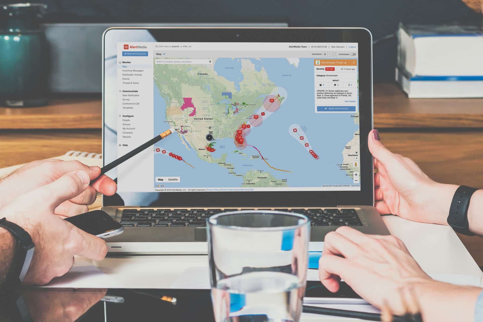
The analysis of this spatial data provides detailed insights for businesses and government organizations. Banks can analyze a customer’s spending at particular locations and provide feedback to help them save money. Websites like NeighborhoodScout analyze crime statistics in specific areas to tell you how safe or dangerous a specific neighborhood is. Companies like AlertMedia can warn you of potentially dangerous situations unfolding near your location.
What location intelligence is not
The origins of location intelligence
“Location intelligence” may sound like a term that entered the technological lexicon during the age of the smartphone and self-driving cars, but its origins can be traced back to the actions of a single physician nearly 200 years ago.
In 1854, before germ theory was widely accepted, medical experts believed cholera and other contagious diseases of the time were caused by “miasma”—a toxic air emanating from rotting organic matter. A sudden, concentrated outbreak of cholera in London’s Soho neighborhood was puzzling doctors and causing a panic among residents. To better understand the outbreak’s cause, a physician named John Snow documented confirmed cholera cases using a map of public water pumps to pinpoint a single contaminated water pump where the outbreak—one that killed 616 people—originated.
This simple act of marking up a paper map fundamentally changed how scientists, doctors, journalists, business professionals, safety and security professionals, and virtually any field interested in knowing what is happening at a specific location visualize data today. And while the maps, tools, and data look much different than Dr. Snow’s did in 1854, the concept has remained largely unchanged.
Who Uses Location Intelligence?
There are limitless possibilities for how location intelligence can be used. However, here we’ll focus on how organizations use it to create a safer, more connected workforce. With that in mind, people in these roles use business data such as location intelligence regularly to inform their decision-making, keep their people safe, and ensure their business runs smoothly.
Today, organizations of all sizes are susceptible to a wide range of critical events: severe weather, disease outbreak, acts of terrorism, active shooters, and more. To fulfill their duty of care, many organizations are increasing their focus on mitigating the risk of these threats and keeping their employees out of harm’s way.
Safety and security professionals have a significant role in these initiatives. For these roles, location intelligence helps them understand whether their employees are in proximity to emerging threats, prioritizing emergency response efforts for those at risk.
As with safety and security leadership, location intelligence helps individuals in charge of business continuity planning get ahead of critical events that pose a risk to everyday operations. They can track the locations of manufacturing facilities, data storage, transportation routes, or any variety of assets that their business needs to function at full capacity.
If a critical event occurs near one of these assets, they can react quickly and commence backup plans and disaster recovery initiatives. Location intelligence is critically helpful for companies with trade, supply chains, employees, partners, and assets spread around the world.
While larger organizations will likely have dedicated safety/security and business continuity teams, small to midsize companies lean heavily on HR to initiate policies and procedures that help fulfill their duty of care and maintain business continuity.
The best location intelligence solutions integrate with HRIS to automatically create and update groups based on employees’ location, role, or custom filters—helping HR quickly determine an employee’s location should an emergency occur.
Types of Data Used in Location Intelligence
Location intelligence leverages many different data sources to provide a user with a complete picture of what is occurring near locations of interest. Some examples of this are:
- Human mobility – Provides insights on where people are in relation to the weather, traffic, or other threats that impact their mobility. This type of data is invaluable for organizations that want to monitor their traveling employees. Managers and executives can view flight maps and incident feeds to see if an event is disrupting flight patterns and travel schedules.
- Road traffic – Uses location-based cameras and GPS to push intelligence about accidents, delays, roadwork, and general traffic density to useful sources like law enforcement, news stations, traffic apps, and more.
- Points of interest (POI) – Monitors important physical locations like government buildings, financial institutions, sports stadiums, concerts, and anywhere large groups of people gather. These locations are susceptible to terroristic and human-made threats as well as natural disasters. Location intelligence around these physical locations can provide authorities with valuable information and help them avoid disaster.
- Radar and weather data – Offers a live view of weather in any given location to help monitor and predict potential severe weather events that may cause harm or disrupt operations in that area. This is particularly helpful around critical business sites.
- Wildfire boundaries – Gives detailed information and data visualizations about wildfires, including geographic data and where the specific boundaries of the fire are located. This can help identify employees or locations that are at risk and may need to evacuate soon.
Mitigate Loss With Location Intelligence Tools
Organizations have a lot of new technology at their disposal, including location analytics for around-the-clock, real-time visibility into disruptive events happening near their people and assets. Location intelligence tools, like AlertMedia’s, can help the following industries, and many others, mitigate loss and improve emergency response initiatives:
- Supply chain – Countless organizations use location intelligence to conduct a deeper analysis of their supply chains by monitoring their suppliers’ locations, shipping routes, and delivery areas for potential disruptions or bottlenecks. This can greatly improve business operations and customer experience.
- Retail – Many retail businesses use location intelligence to view incident feeds of critical events near their stores’ locations. This can help employees in loss prevention roles contact those locations to minimize the event’s impact, safeguard assets, and keep employees working in that location out of harm’s way.
- Healthcare – Hospitals, urgent care centers, and home healthcare organizations use location intelligence to monitor critical events occurring near their static sites. It is also used to monitor remote locations where traveling nurse practitioners are working in the field—providing 24/7 coverage for a workforce that is always on.
- Real estate – Real estate companies use location intelligence to assess the risk factors surrounding properties, such as natural disasters, crime rates, and proximity to critical infrastructure. This helps investors, developers, and property managers make more informed decisions about property acquisition, management, and insurance coverage, ultimately mitigating financial loss and enhancing property value.
3 Location intelligence use case examples
Location intelligence has a wide range of benefits for organizations across all industries. Here are three examples of how different businesses might use location intelligence to manage risk, improve business continuity, and increase profits.
1. Targeted marketing
A retail chain might use location intelligence to analyze customer foot traffic and demographics in different regions when building a marketing campaign. They can tailor the promotions and advertising, and the overall business strategy, based on the preferences and behavior of customers in specific locations.
2. Supply chain optimization
A logistics company could leverage location intelligence to track the real-time position of delivery vehicles during a shipment and monitor traffic conditions to help ensure products are delivered on time.
3. Risk monitoring for expansion
A fast-food franchise could use location intelligence during site selection to analyze risks and threats surrounding potential new store locations. By studying threat data, competitor locations, and severe weather predictions, the business can determine which areas are likely to encounter more disruptions than others.
How to Get the Most Out of Location Intelligence Solutions
When evaluating location intelligence platforms and providers, here are a few essential features you should consider:
Analyst-vetted information
There’s an expression used in newsrooms and writing bullpens worldwide: Information is only as good as its source. This also pertains to location intelligence. If you’re relying on data to keep your people and business safe during a critical event, that information should be of the highest caliber.
Many solutions on the market serve as a glorified RSS feed of critical events happening worldwide. This means you’re left sifting through volumes of information from disparate datasets, wondering what is real and what isn’t. To ensure you’re receiving only the best location intelligence, you should consider the importance of analyst-vetted data.
With analyst-vetted location intelligence, like AlertMedia’s, you won’t have to determine the accuracy of the information you’re receiving. Our team of in-house analysts monitors thousands of public, private, and dark web data sources to identify early signs of an active threat, weed out misinformation, and corroborate details about unfolding events.
Impact assessment
Knowing which threats are relevant (and irrelevant) to your business is just as important as the accuracy of the data you’re receiving. A location intelligence solution that automatically determines the threat’s potential impact on your people and business can save you a lot of headaches.
Solutions with this feature, like AlertMedia, can filter out the noise and deliver only the most relevant view of events that may impact your people and business. Combining verified, up-to-date intelligence with your location data can help you accelerate response times and make decisions with the best available information.
Integrated, customizable views and geofencing
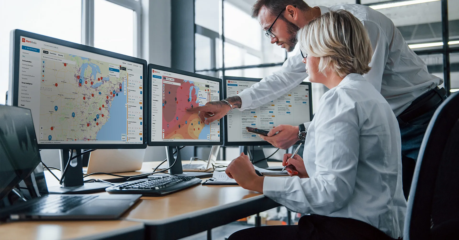
When using location intelligence, it is helpful to be able to switch between multiple data sources without having to switch systems. Solutions like AlertMedia’s Visual Intelligence offer a single pane of glass view with all your different sources of location intelligence, such as ESRI, and threat data that can be personalized based on what you need. You can also set up geofencing to easily monitor critical locations and segment notifications.
Not having to jump between multiple dashboards on different sites offers a competitive edge by saving you time and energy developing location-based insights, and ultimately helps you make better decisions.
Automatic alerts
Whether it’s a natural disaster, severe weather, political upheaval, terrorist attack, or any other type of critical event, time is your greatest resource during an emergency.
Location intelligence solutions that can automatically alert you to threats unfolding near your employees and locations—over multiple channels, including text, email, voice, and mobile app—give you a head start when initiating an emergency response. With these tools, you don’t have to be at your desk or constantly monitoring a feed to ensure you’re staying on top of events that could have an impact on your business.
AlertMedia integrates analyst-vetted threat intelligence with powerful emergency communication capabilities to help you achieve 24/7 situational awareness based on your locations.
Take a Proactive Approach to Employee and Business Safety
Location intelligence has come a long way since Dr. John Snow marked up a water pump map in 1854. Every day, organizations use this powerful tool to solve problems involving supply chains, logistics, loss prevention, traffic, business travel, employee safety, and more. With the right location intelligence software in place, your organization can use your location data to get ahead of critical events and take a proactive approach to their people’s and business’s safety.
Visual Intelligence At-a-Glance
More Articles You May Be Interested In
-
 Company NewsIntroducing Visual Intelligence: Navigate Critical Events With Greater Context
 -
 Safety and Security, Emergency ManagementHow Local Threat Monitoring Can Protect Your People During a Hurricane
An effective hurricane response requires a lot. You need to be quick to identify the storm as a threat. You need to plan accordingly—and update that plan as the forecast changes. And you need to communicate that plan to your employees, so that they know what is expected of them and what your organization is…
-
 Emergency ManagementHow to Master the Operational Risk Assessment and Keep Your Business Running Smoothly


