Product Guide
Visual Intelligence
At-a-Glance
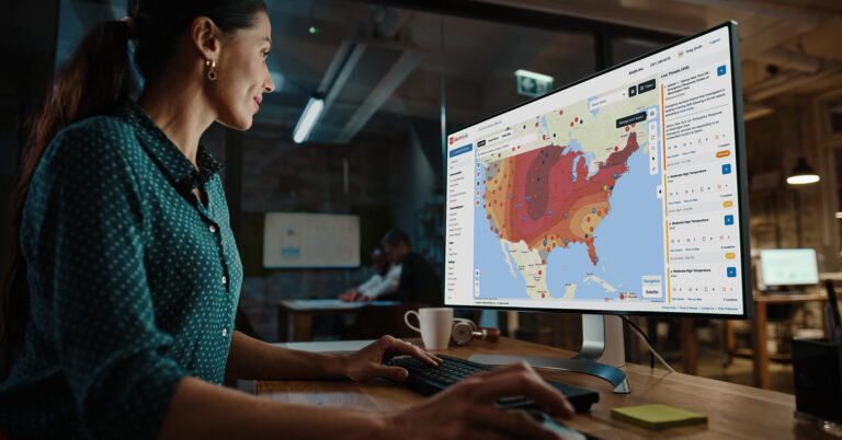
Explore the powerful mapping and geospatial analysis tools purpose-built to help you navigate critical events faster.

Get the Guide
Respond to Incidents With Unmatched Precision & Efficiency
It’s tough to be proactive in emergency situations when important information is spread across different sources. Unless you’ve become a pro at the “swivel chair approach,” you can miss crucial details, leading to slower response times. Without a clear and consolidated view, it becomes challenging to react quickly and effectively to emergencies—putting your people and assets at greater risk.
Access and assess critical information faster
Download this two-page guide to explore how you can:
- Visualize context from multiple sources—including weather, disasters, power outages, and service coverage areas
- Overlay data layers on top of people, asset, and location data to gain actionable situational awareness
- Target impacted people and assets with greater precision by leveraging Esri’s ArcGIS technology
- Save and retrieve entire map workspaces to switch context quickly and efficiently

